UN
5 Fort Lane
£ 260,000
Description
We don't have a Description for this property.
- Bedrooms
- 2
- Bathrooms
- 0


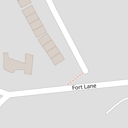

Leaflet © OpenStreetMap contributors
The heatmap indicates the level of crime in the area. The color of the heatmap indicates the crime severity and recency.
Metrics Year-on-Year
- Average area value
- 251,538.00 £Increased by 21.55 %
- Average area rental value
- 754.00 £/moDecreased by 18.22 %
- Est rental Yield
- 3.60 %Decreased by 32.71 %
- Crime Rate
- 5.00 %Unchanged by 0.00 %
from 206,948.00 £
from 922.00 £/mo
from 5.35 %
from 5.00 %
Nearby Schools
| Name | Type | Ofsted | Distance |
|---|---|---|---|
| Treetops Children'S Centre | Children's Centre | 1.09 KM | |
| Dursley Church Of England Primary Academy | Academy Sponsor Led | Good | 1.09 KM |
| Rednock School | Foundation School | Good | 1.11 KM |
| Peak Academy | Academy Special Sponsor Led | Serious Weaknesses | 1.29 KM |
| Cam Everlands Primary School | Community School | Good | 2.05 KM |
Images
Nearby Streets
| Name | Average Price | Average Sqft | Distance |
|---|---|---|---|
| Champions Court | £ 75,000 | 0 | 0.00 KM |
| Manor View | £ 310,000 | 0 | 0.00 KM |
| Bull Pitch | £ 231,500 | 0 | 0.00 KM |
| Vizard Close | £ 0 | 0 | 0.00 KM |
| Black Wells | £ 386,650 | 0 | 0.00 KM |
Nearby Transport
| Name | NLC | TLC | Distance |
|---|---|---|---|
| Cam And Dursley | 3238 | CDU | 4.52 KM |
Nearby Listings
| Address | Price | Type | Score | Distance |
|---|---|---|---|---|
| Upper Poole Road, Dursley | £ 280,000 | BUY | 6 / 10 | 0.14 KM |
| Weavers Close, Dursley | £ 198,000 | BUY | 6 / 10 | 0.17 KM |
| Upper Poole Road, Dursley | £ 250,000 | BUY | 6 / 10 | 0.20 KM |
| Henlow Drive, Dursley | £ 110,000 | BUY | 6 / 10 | 0.25 KM |
| St Marks Rise, Woodmancote, Dursley | £ 400,000 | BUY | 7 / 10 | 0.26 KM |
Nearby Properties
| Address | Price | Distance |
|---|---|---|
| 5 Fort Lane | £ 260,000 | 0.00 KM |
| 7 Fort Lane | £ 338,000 | 0.00 KM |
| 1 Fort Lane | £ 350,000 | 0.02 KM |
| 12 Fort Lane | £ 360,000 | 0.09 KM |
| 16 Fort Lane | £ 260,000 | 0.09 KM |